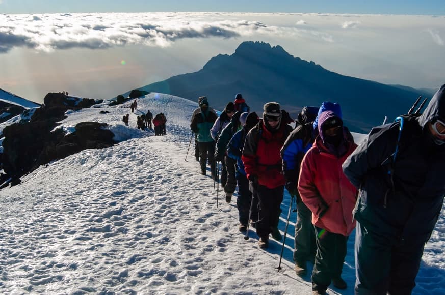
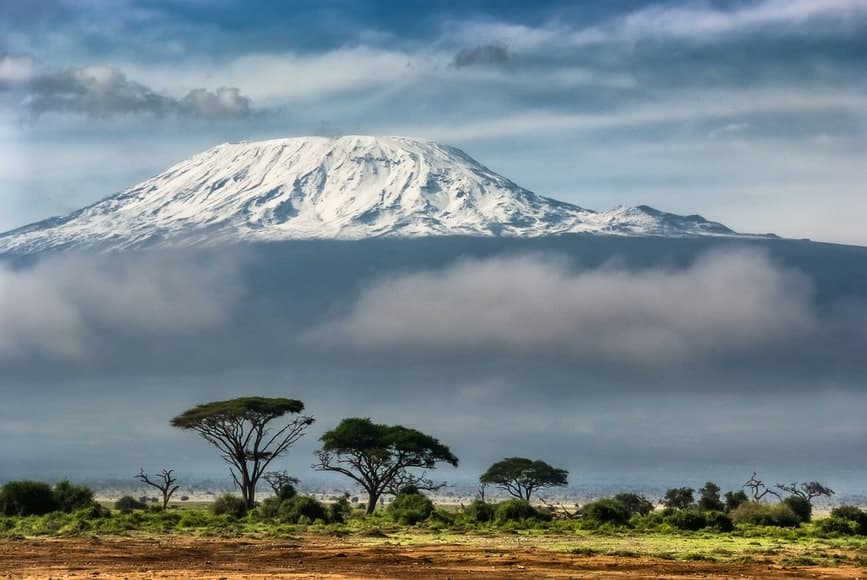
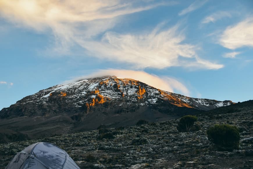
At 5,895 meters Mount Kilimanjaro is the highest mountain in Africa and the tallest freestanding mountain on the earth; it is one of the Seven Summits. The snow-capped peak of Africa is a dormant volcano. This majestic mountain can be found inside the Kilimanjaro National Park of Tanzania, at 005.00 degrees south, 036 degrees east, 5895m above mean sea level.
Who Can Climb Kilimanjaro?
Anyone above the age of ten, as well as older people in their 60s and 70s, can reach the top of the summit. All you need is dedication and the will to succeed. The altitude and the rate of ascent are the major challenges of climbing Kilimanjaro.
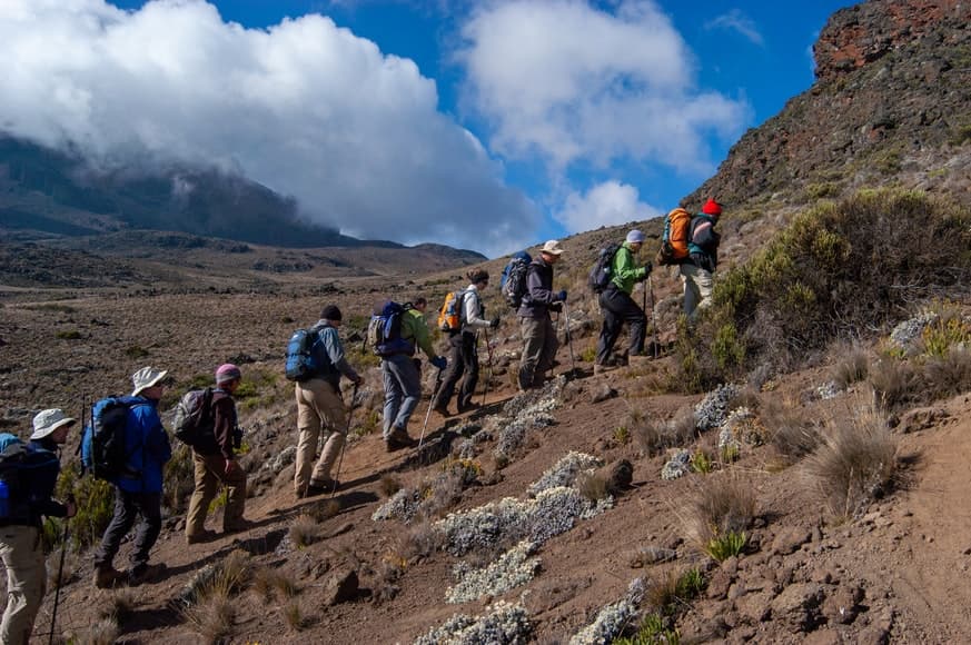
Mt. Kilimanjaro Preparation assists climbers in hiking to the summit of this mountain. This preparation and training program can assist with essential advice on mental and physical preparation, as well as a fitness program and recommended gear for climbing Kilimanjaro.
Preparation and highly trained specialists can play an important role in your success to climb Kilimanjaro. Guide to Kilimanjaro provides prospect climbers with accurate and valuable information to increase one’s chance of a successful summit when climbing Mt. Kilimanjaro.